File:Chad-Bourkou-Ennedi-Tibesti region.png
Jump to navigation
Jump to search
No higher resolution available.
Chad-Bourkou-Ennedi-Tibesti_region.png (150 × 231 pixels, file size: 5 KB, MIME type: image/png)
File history
Click on a date/time to view the file as it appeared at that time.
| Date/Time | Thumbnail | Dimensions | User | Comment | |
|---|---|---|---|---|---|
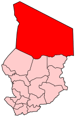
| current | 21:57, 3 October 2006 | | 150 × 231 (5 KB) | commons>Golbez | {{Information |Description=Map of Chad showing Bourkou-Ennedi-Tibesti region. |Source=Traced from various public domain maps and research |Date=October 2006 |Author=User:Golbez |Permission= |other_versions= }} Category:Maps of Chad |
File usage
There are no pages that use this file.