File:Cell Map of Gatunda Sector.png
Jump to navigation
Jump to search
Size of this preview: 800 × 566 pixels. Other resolutions: 320 × 226 pixels | 640 × 453 pixels | 1,024 × 724 pixels | 1,280 × 905 pixels | 2,560 × 1,810 pixels | 3,507 × 2,480 pixels.
Original file (3,507 × 2,480 pixels, file size: 955 KB, MIME type: image/png)
File history
Click on a date/time to view the file as it appeared at that time.
| Date/Time | Thumbnail | Dimensions | User | Comment | |
|---|---|---|---|---|---|
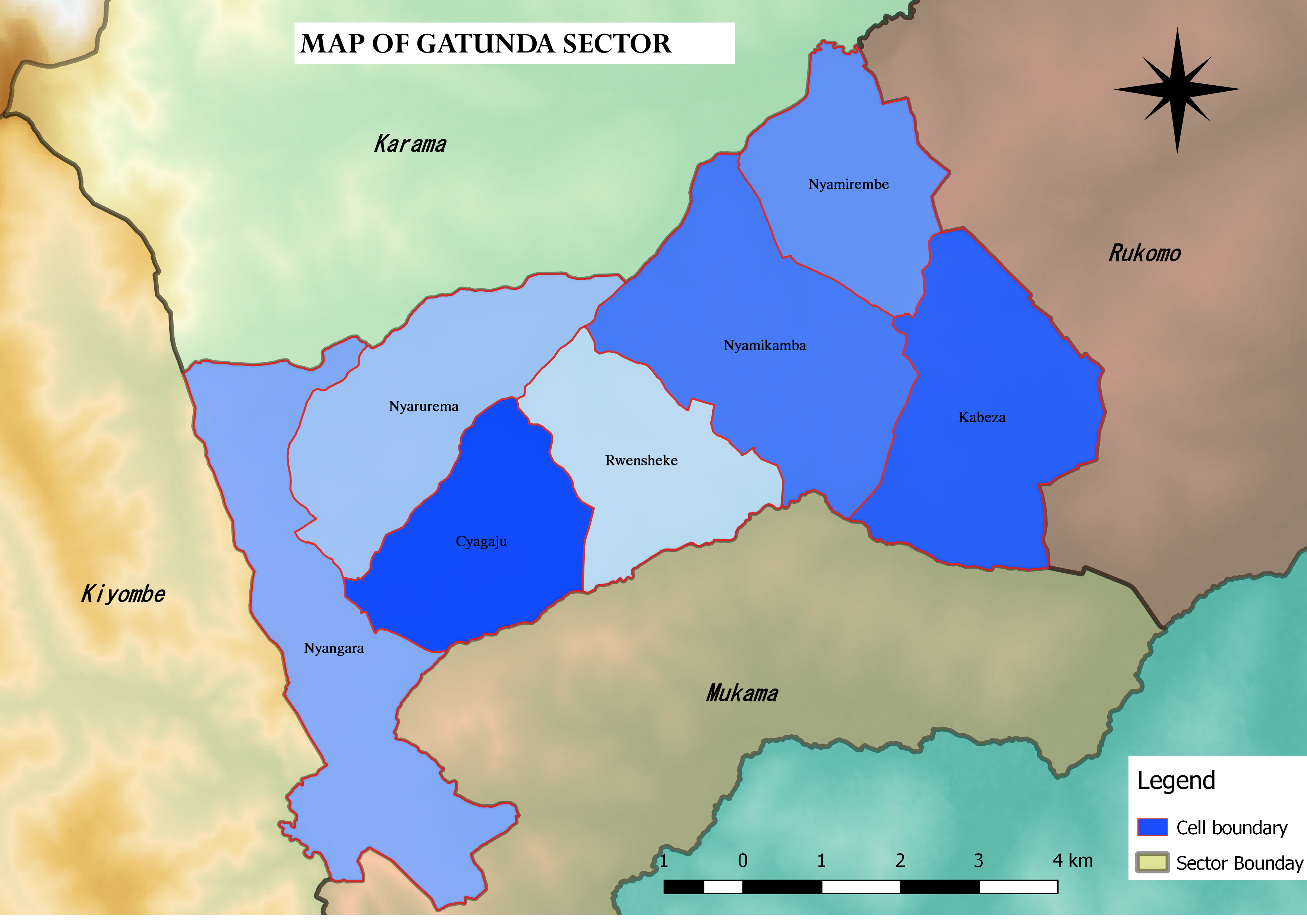
| current | 04:42, 31 May 2017 | | 3,507 × 2,480 (955 KB) | commons>Stratogan | {{subst:Upload marker added by en.wp UW}} {{Information |Description = {{en|Map of cells of Gatunda Sector and its neighboring sectors in Nyagatare Sector.}} |Source = I created this map using QGIS |Date = 5/30/2017 |Author = [[User:Stratogan|Stratogan... |
File usage
There are no pages that use this file.