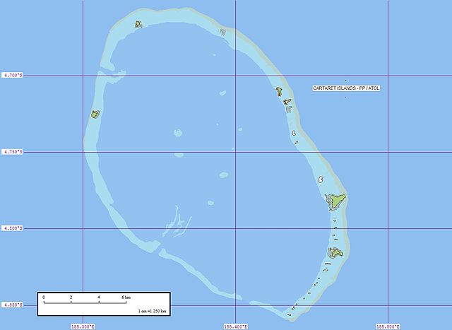
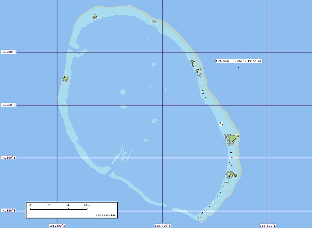
File:Carteret Map.jpg
Jump to navigation
Jump to search

Size of this preview: 800 × 583 pixels. Other resolutions: 320 × 233 pixels | 640 × 467 pixels | 1,024 × 747 pixels | 1,240 × 904 pixels.
Original file (1,240 × 904 pixels, file size: 129 KB, MIME type: image/jpeg)
File history
Click on a date/time to view the file as it appeared at that time.
| Date/Time | Thumbnail | Dimensions | User | Comment | |
|---|---|---|---|---|---|
| current | 07:32, 29 May 2008 | | 1,240 × 904 (129 KB) | commons>Telim tor | {{Information |Description={{en|1=Map of Carteret Atoll (also known as Tulun Islands), Papua New Guinea}} |Source=[http://www.flickr.com/photos/evsmap/312281441/in/set-72157594402388332/ Flickr] |Author=[http://www.flickr.com/photos/evsmap/ EVS-Islands] | |
File usage
There are no pages that use this file.