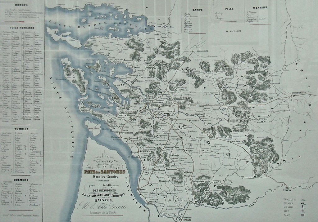
File:Carte du pays de Santones sous les Romains.jpg
Jump to navigation
Jump to search

Size of this preview: 800 × 559 pixels. Other resolutions: 320 × 224 pixels | 640 × 448 pixels | 1,024 × 716 pixels | 1,280 × 895 pixels | 2,072 × 1,449 pixels.
Original file (2,072 × 1,449 pixels, file size: 411 KB, MIME type: image/jpeg)
File history
Click on a date/time to view the file as it appeared at that time.
| Date/Time | Thumbnail | Dimensions | User | Comment | |
|---|---|---|---|---|---|
| current | 20:44, 9 May 2009 | | 2,072 × 1,449 (411 KB) | commons>World Imaging | {{Information |Description={{fr|1=Carte_du_pays_de_Santones_sous_les_Romains}} |Source=Map by Auguste Lacurie (1799-1878) |Author=Auguste Lacurie |Date=before 1878 |Permission= |other_versions= }} <!--{{ImageUpload|full}}--> Category:Gaul |
File usage
There are no pages that use this file.