File:Carrollton,Georgia-Topo.png
Jump to navigation
Jump to search
No higher resolution available.
Carrollton,Georgia-Topo.png (576 × 393 pixels, file size: 84 KB, MIME type: image/png)
File history
Click on a date/time to view the file as it appeared at that time.
| Date/Time | Thumbnail | Dimensions | User | Comment | |
|---|---|---|---|---|---|
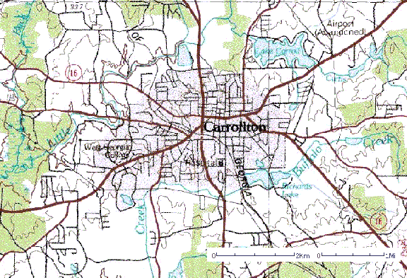
| current | 19:37, 19 December 2011 | | 576 × 393 (84 KB) | commons>File Upload Bot (Magnus Manske) | {{BotMoveToCommons|en.wikipedia|year={{subst:CURRENTYEAR}}|month={{subst:CURRENTMONTHNAME}}|day={{subst:CURRENTDAY}}}} {{Information |Description={{en|Topographic Map of Carrollton, Georgia. Circa 1975. Created by the [[:en:United States Geological Sur |
File usage
There are no pages that use this file.