File:Carpathians-satellite.jpg

From WikiProjectMed
Jump to navigation Jump to search

Original file(2,625 × 2,521 pixels, file size: 2.6 MB, MIME type: image/jpeg)

This file is from a shared repository and may be used by other projects. The description on its file description page there is shown below.

Summary

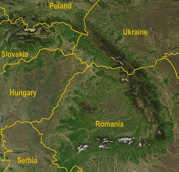
Description A satellite map of the Carpathians
Date
Source

http://visibleearth.nasa.gov/view_rec.php?id=5348

  • Annotated by Bogdan Giuşcă
Author Jeff Schmaltz, MODIS Rapid Response Team, NASA/GSFC
Other versions Image:Karpaty zdjęcie satelitarne.jpg

Licensing

Public domain This file is in the public domain in the United States because it was solely created by NASA. NASA copyright policy states that "NASA material is not protected by copyright unless noted". (See Template:PD-USGov, NASA copyright policy page or JPL Image Use Policy.)
Warnings:

Captions

Add a one-line explanation of what this file represents

Items portrayed in this file

depicts

7 May 2003

image/jpeg

801d10e97b2f316bcd6a2b61e6b7105b13f1db78

2,721,407 byte

2,521 pixel

2,625 pixel

File history

Click on a date/time to view the file as it appeared at that time.

Date/TimeThumbnailDimensionsUserComment
current12:36, 30 August 2009Thumbnail for version as of 12:36, 30 August 20092,625 × 2,521 (2.6 MB)commons>QorillaBetter resolution, yellow country names

There are no pages that use this file.

Metadata