File:CarlisleNumberedParishes.png
Jump to navigation
Jump to search

Size of this preview: 593 × 600 pixels. Other resolutions: 237 × 240 pixels | 475 × 480 pixels | 759 × 768 pixels | 1,013 × 1,024 pixels | 2,203 × 2,228 pixels.
Original file (2,203 × 2,228 pixels, file size: 302 KB, MIME type: image/png)
File history
Click on a date/time to view the file as it appeared at that time.
| Date/Time | Thumbnail | Dimensions | User | Comment | |
|---|---|---|---|---|---|
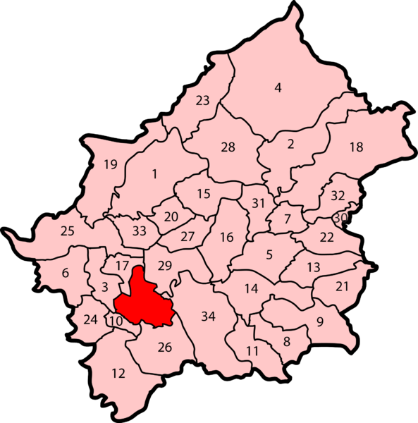
| current | 17:15, 24 June 2009 | | 2,203 × 2,228 (302 KB) | commons>Jza84 | {{Information |Description=A map of the City of Carlisle, England, demarking and numbering its civil parishes. The red section is the unparished area of Carlisle. |Source=self-made |Date=June 2009 |Author= Jza84 |Permission=See below |other |
File usage
There are no pages that use this file.