File:Cantinomap redsea persiangulf.jpg
Jump to navigation
Jump to search

Size of this preview: 660 × 600 pixels. Other resolutions: 264 × 240 pixels | 528 × 480 pixels | 666 × 605 pixels.
Original file (666 × 605 pixels, file size: 318 KB, MIME type: image/jpeg)
File history
Click on a date/time to view the file as it appeared at that time.
| Date/Time | Thumbnail | Dimensions | User | Comment | |
|---|---|---|---|---|---|
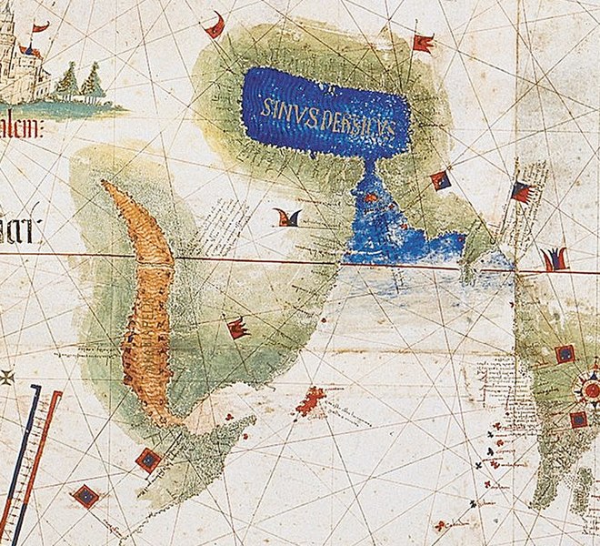
| current | 13:39, 12 December 2009 | | 666 × 605 (318 KB) | commons>Uxbona | {{Information |Description= Enlarged detail showing Red Sea and Persian Gulf as viewed in 1502 in the Cantino World Map. Most important manuscript map surviving from the early Age of Discovery, the Cantino World Map is named for Alberto Cantino, an Italia |
File usage
There are no pages that use this file.