File:Canada provinces evolution 2.gif
Jump to navigation
Jump to search

Size of this preview: 694 × 600 pixels. Other resolutions: 278 × 240 pixels | 556 × 480 pixels | 1,000 × 864 pixels.
Original file (1,000 × 864 pixels, file size: 243 KB, MIME type: image/gif, looped, 20 frames, 1 min 13 s)
Note: Due to technical limitations, thumbnails of high resolution GIF images such as this one will not be animated.
File history
Click on a date/time to view the file as it appeared at that time.
| Date/Time | Thumbnail | Dimensions | User | Comment | |
|---|---|---|---|---|---|
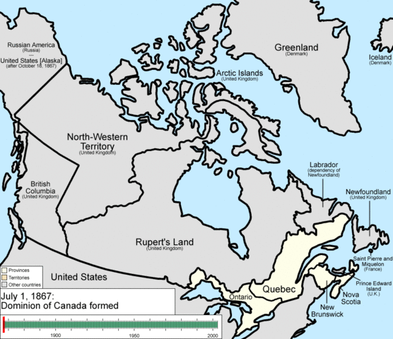
| current | 22:37, 14 July 2009 | | 1,000 × 864 (243 KB) | commons>Golbez | {{Information |Description=Animation of the changes to the borders of Canada. |Source=self-made |Date=July 15, 2009 |Author= Golbez |Permission= |other_versions= }} Category:Maps of the history of Canada Category:Animated GIF [[Ca |
File usage
There are no pages that use this file.