File:Canada provinces 1999-2001.png
Jump to navigation
Jump to search
Size of this preview: 694 × 600 pixels. Other resolutions: 278 × 240 pixels | 556 × 480 pixels | 1,000 × 864 pixels.
Original file (1,000 × 864 pixels, file size: 61 KB, MIME type: image/png)
File history
Click on a date/time to view the file as it appeared at that time.
| Date/Time | Thumbnail | Dimensions | User | Comment | |
|---|---|---|---|---|---|
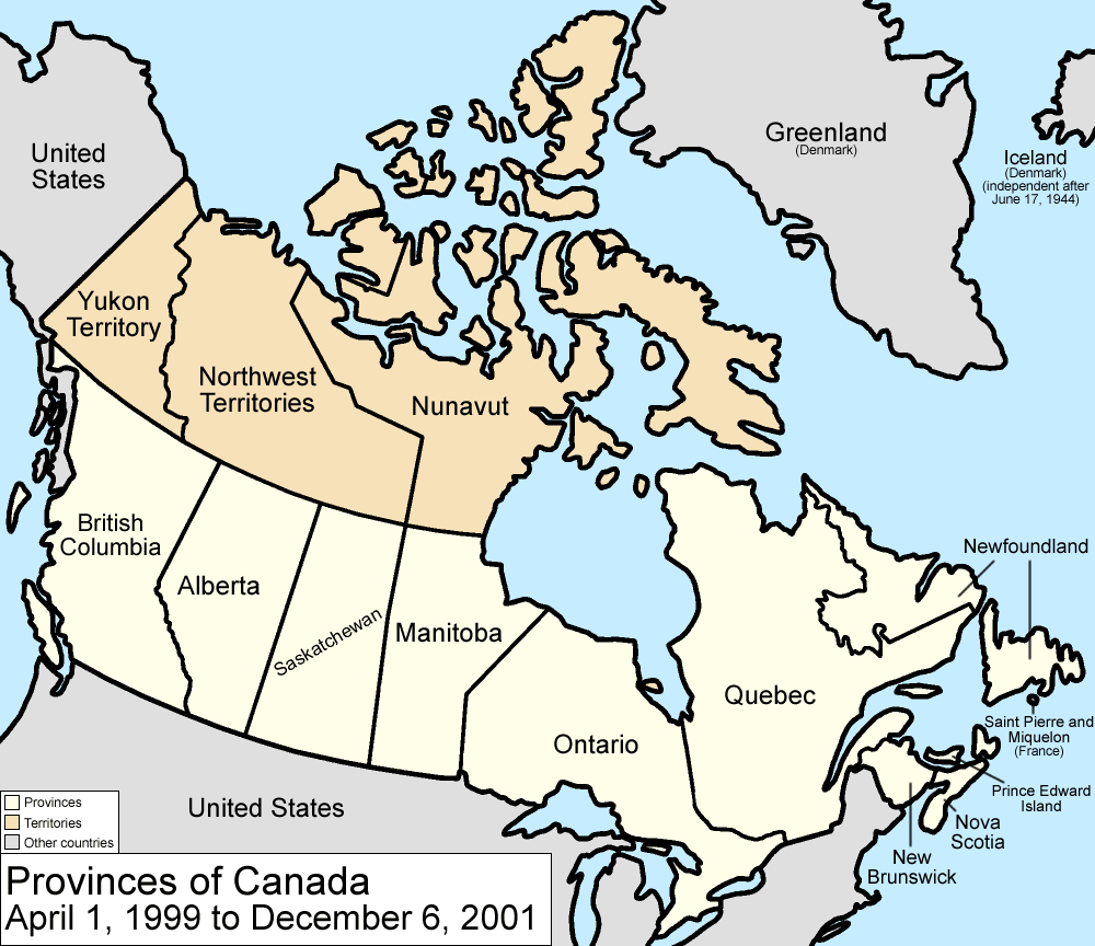
| current | 17:40, 14 July 2009 | | 1,000 × 864 (61 KB) | commons>Golbez | {{Information |Description=Map of the provinces and territories of Canada as they were between 1999 and 2001. On April 1, 1999, Nunavut was split from the Northwest Territories. On December 6, 2001, Newfoundland was renamed Newfoundland and Labrador. |Sou |
File usage
There are no pages that use this file.