File:California county map (Inland Empire highlighted).svg
Jump to navigation
Jump to search

Size of this PNG preview of this SVG file: 487 × 599 pixels. Other resolutions: 195 × 240 pixels | 390 × 480 pixels | 624 × 768 pixels | 832 × 1,024 pixels | 1,664 × 2,048 pixels | 650 × 800 pixels.
Original file (SVG file, nominally 650 × 800 pixels, file size: 258 KB)
.svg)
File history
Click on a date/time to view the file as it appeared at that time.
| Date/Time | Thumbnail | Dimensions | User | Comment | |
|---|---|---|---|---|---|
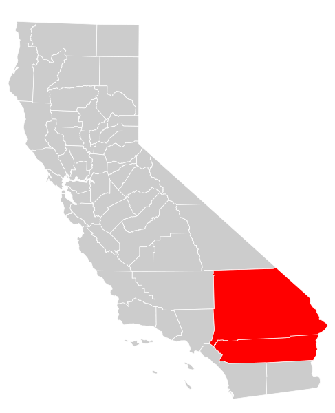
| current | 23:24, 7 August 2009 | | 650 × 800 (258 KB) | commons>Optigan13 | {{Information |Description={{en|A map of the w:Inland Empire (California) metropolitan area of California, which consists of the counties of Riverside and San Bernadino}} |Source=Own work based on [[:File:California county map (Riverside County highli |
File usage
There are no pages that use this file.
.svg)