File:Caldey Island map 1952.jpg
Jump to navigation
Jump to search
Size of this preview: 800 × 368 pixels. Other resolutions: 320 × 147 pixels | 640 × 294 pixels | 1,024 × 471 pixels | 1,280 × 589 pixels | 2,400 × 1,104 pixels.
Original file (2,400 × 1,104 pixels, file size: 172 KB, MIME type: image/jpeg)
File history
Click on a date/time to view the file as it appeared at that time.
| Date/Time | Thumbnail | Dimensions | User | Comment | |
|---|---|---|---|---|---|
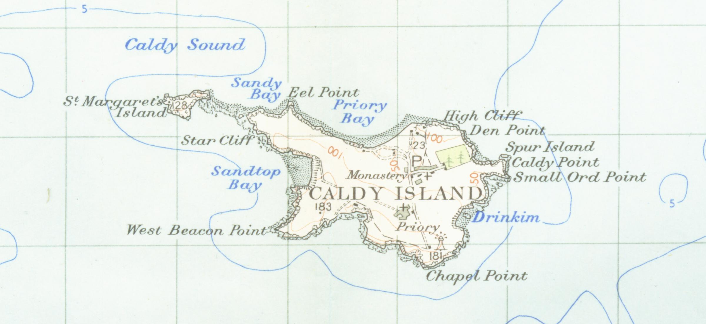
| current | 02:19, 24 February 2007 | | 2,400 × 1,104 (172 KB) | commons>Geni | {{oldOS}} {{Information |Description=Map of caldey island from 1952 scale one inch to the mile scanned at 600 DPI |Source=OS map carmarthen and tenbysheet 152 q952 |Date=1952 |Author=OS |Permission=none needed |other_versions= }} |
File usage
There are no pages that use this file.