File:Cairns Army Airfield.jpg
Jump to navigation
Jump to search
Size of this preview: 600 × 600 pixels. Other resolutions: 240 × 240 pixels | 480 × 480 pixels | 768 × 768 pixels | 1,024 × 1,024 pixels | 2,048 × 2,048 pixels | 2,668 × 2,668 pixels.
Original file (2,668 × 2,668 pixels, file size: 1.92 MB, MIME type: image/jpeg)
File history
Click on a date/time to view the file as it appeared at that time.
| Date/Time | Thumbnail | Dimensions | User | Comment | |
|---|---|---|---|---|---|
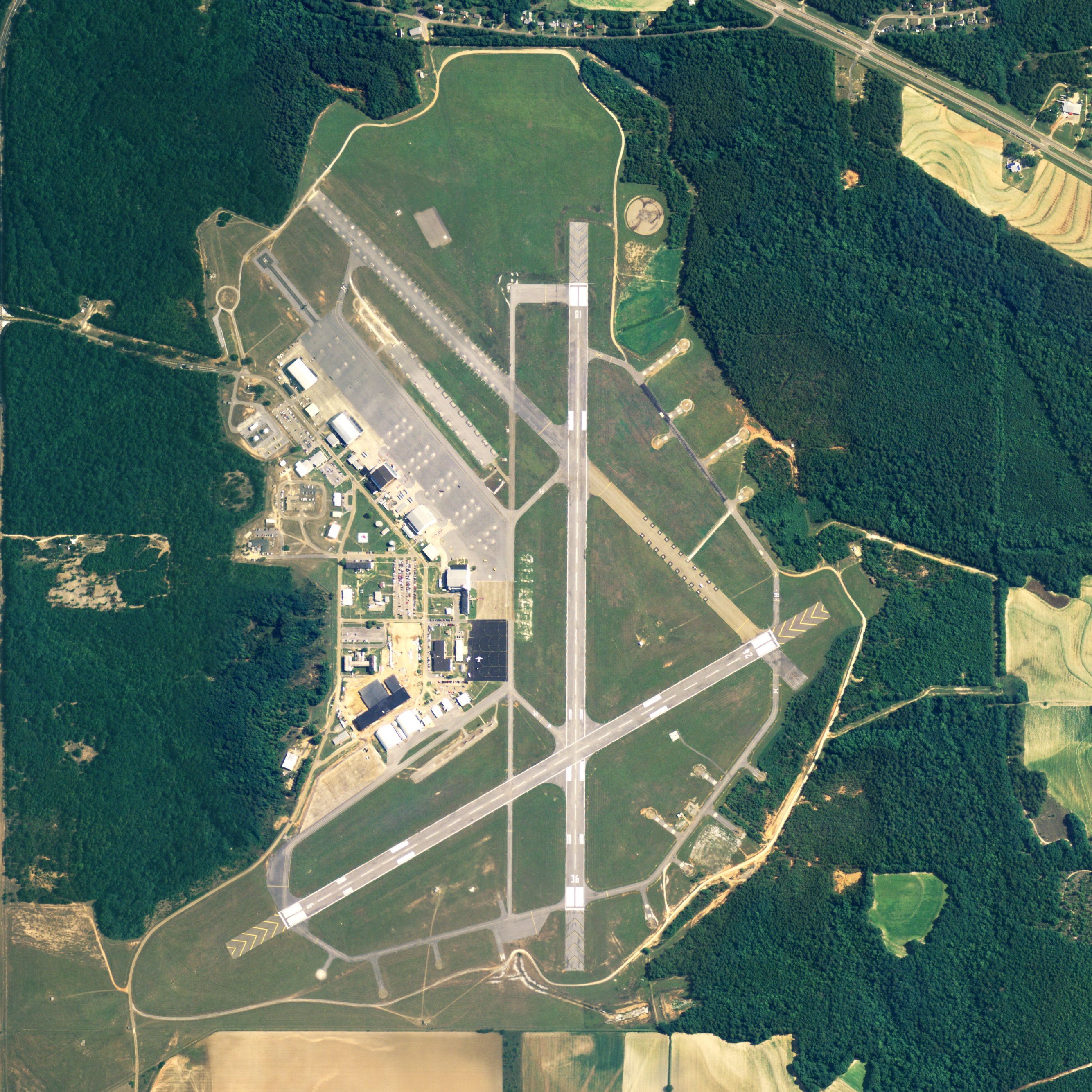
| current | 18:45, 16 June 2009 | | 2,668 × 2,668 (1.92 MB) | commons>AuburnPilot | == Summary == {{Information |Description=Satellite image of Butler-Choctaw_County_Airport, part of Fort Rucker in Dale County, Alabama, USA on 30 June 2006 |Source=United States Geological Survey (National Agriculture |
File usage
There are no pages that use this file.