File:CRQ - FAA airport diagram.gif
Jump to navigation
Jump to search

Size of this preview: 390 × 599 pixels. Other resolutions: 156 × 240 pixels | 313 × 480 pixels | 806 × 1,237 pixels.
Original file (806 × 1,237 pixels, file size: 25 KB, MIME type: image/gif)
File history
Click on a date/time to view the file as it appeared at that time.
| Date/Time | Thumbnail | Dimensions | User | Comment | |
|---|---|---|---|---|---|
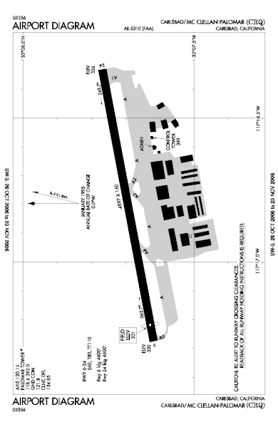
| current | 02:23, 18 October 2006 | | 806 × 1,237 (25 KB) | commons>Thadius856 | FAA airport diagram for CRQ (McClellan-Palomar Airport) in California, United States. {{PD-USGov-FAA}} Category:Airports in the United States |
File usage
There are no pages that use this file.