File:CP Rurtalsperre-Luft.jpg
Jump to navigation
Jump to search

Size of this preview: 800 × 600 pixels. Other resolutions: 320 × 240 pixels | 640 × 480 pixels | 1,024 × 768 pixels | 1,280 × 960 pixels | 1,600 × 1,200 pixels.
Original file (1,600 × 1,200 pixels, file size: 1.15 MB, MIME type: image/jpeg)
Summary
| Description |
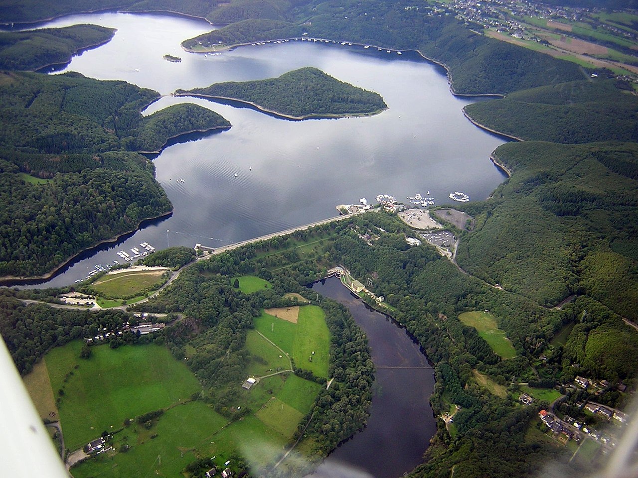
Luftaufnahme von „Rurtalsperre Schwammenauel“ (Staudamm) und „Rurstausee“ mit:
|
| Source | Own work |
| Author | Christoph Paulus |
| Camera location | | View this and other nearby images on: OpenStreetMap |
|---|
Licensing
| I, the copyright holder of this work, release this work into the public domain. This applies worldwide. In some countries this may not be legally possible; if so: I grant anyone the right to use this work for any purpose, without any conditions, unless such conditions are required by law. |
File history
Click on a date/time to view the file as it appeared at that time.
| Date/Time | Thumbnail | Dimensions | User | Comment | |
|---|---|---|---|---|---|
| current | 10:50, 30 January 2019 | | 1,600 × 1,200 (1.15 MB) | commons>Albert Gr. | Reverted to version as of 20:51, 11 November 2013 (UTC)der ehemalige klosterhof schwammenauel wird in der bildbeschreibung genannt und war aber im bild "abgeschnitten" |
File usage
There are no pages that use this file.