File:CFB BordenOpenstreet map.png
Jump to navigation
Jump to search

Size of this preview: 777 × 599 pixels. Other resolutions: 311 × 240 pixels | 622 × 480 pixels | 996 × 768 pixels | 1,208 × 932 pixels.
Original file (1,208 × 932 pixels, file size: 887 KB, MIME type: image/png)
File history
Click on a date/time to view the file as it appeared at that time.
| Date/Time | Thumbnail | Dimensions | User | Comment | |
|---|---|---|---|---|---|
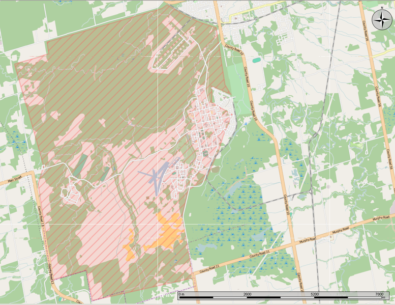
| current | 23:14, 2 September 2013 | | 1,208 × 932 (887 KB) | commons>Oaktree b | {{Information |Description ={{en|1=Open Street Map showing CFB Borden and the surrounding area.}} |Source ={{own}} Made using the Marble program |Author ={{own}} |Date =2013-09-02 |Permission = |other_versions = }} [[C... |
File usage
There are no pages that use this file.