File:C83060s1 Ant.Map Blackburn Nunatak.jpg
Jump to navigation
Jump to search

Size of this preview: 491 × 599 pixels. Other resolutions: 197 × 240 pixels | 393 × 480 pixels | 629 × 768 pixels | 839 × 1,024 pixels | 1,679 × 2,048 pixels | 2,763 × 3,371 pixels.
Original file (2,763 × 3,371 pixels, file size: 843 KB, MIME type: image/jpeg)
File history
Click on a date/time to view the file as it appeared at that time.
| Date/Time | Thumbnail | Dimensions | User | Comment | |
|---|---|---|---|---|---|
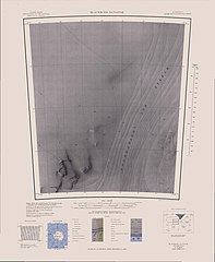
| current | 13:48, 17 April 2013 | | 2,763 × 3,371 (843 KB) | commons>4ing | == {{int:filedesc}} == {{Information |description={{en|1=1:250,000-scale topographic reconnaissance map of the Blackburn Nunatak area from 60°-67'30'W to 83°-84°S in Antarctica. Mapped, edited and published by the U.S. Geological Survey in cooperati... |
File usage
There are no pages that use this file.