File:Côn Đảo National Park.jpg
Original file (2,592 × 1,728 pixels, file size: 2.79 MB, MIME type: image/jpeg)
This file is from a shared repository and may be used by other projects. The description on its file description page there is shown below.
Summary
DescriptionCôn Đảo National Park.jpg |
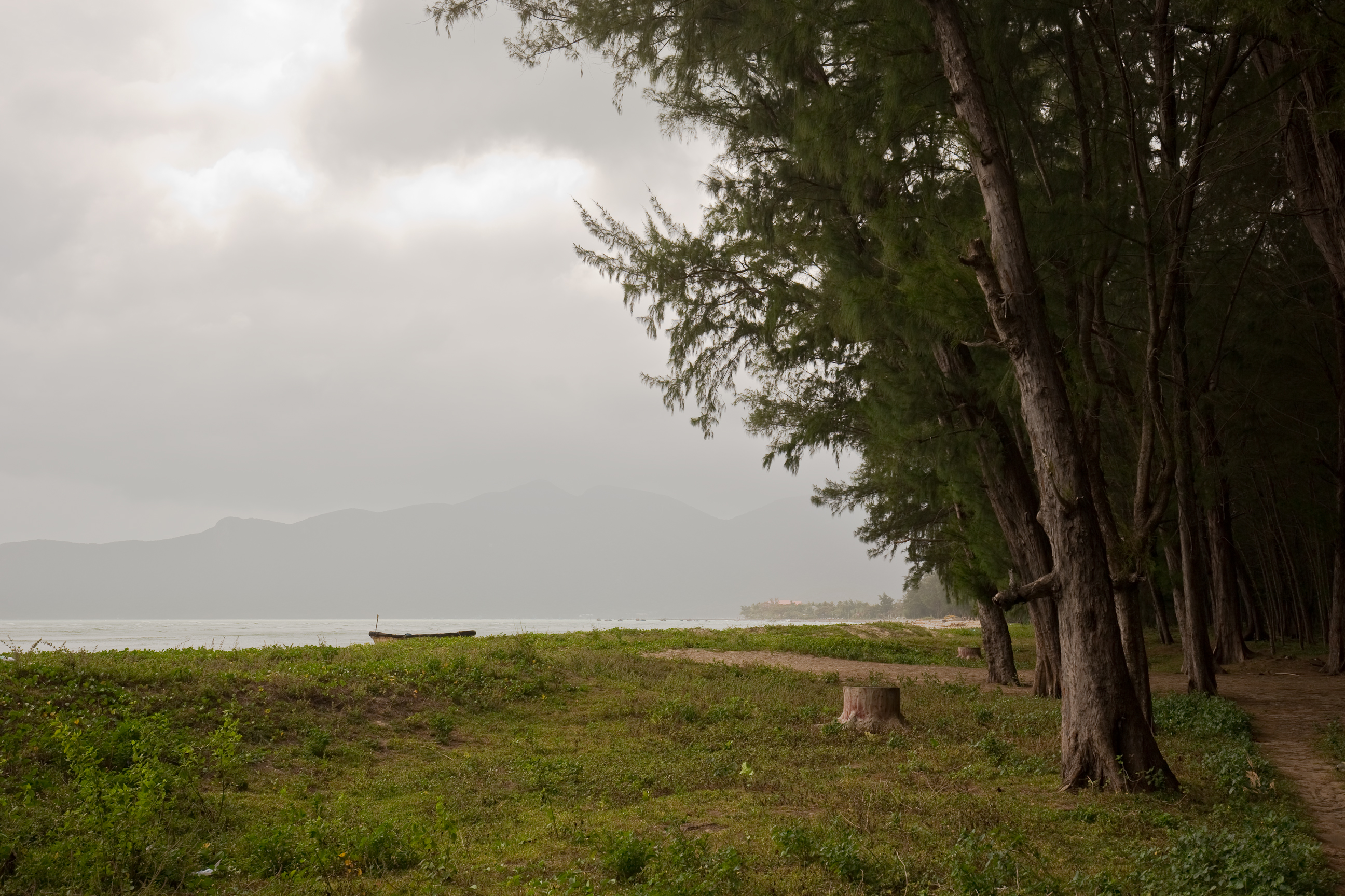
English: Côn Đảo beach at Côn Sơn Island, the largest island of Côn Đảo archipelago, Vietnam. Русский: Берег острова Коншон архипелага Кондао в южном Вьетнаме. Tiếng Việt: Bãi biển trên đảo Côn Sơn, đảo lớn nhất trong quần đảo Côn Đảo, tỉnh Bà Rịa - Vũng Tàu, Việt Nam. |
Date | |
Source | Own work |
Author | [Tycho] talk , http://shansov.net |
Camera location | 8° 41′ 31.74″ N, 106° 37′ 23.95″ E | View this and other nearby images on: OpenStreetMap | 8.692150; 106.623320 |
---|
Licensing
- You are free:
- to share – to copy, distribute and transmit the work
- to remix – to adapt the work
- Under the following conditions:
- attribution – You must give appropriate credit, provide a link to the license, and indicate if changes were made. You may do so in any reasonable manner, but not in any way that suggests the licensor endorses you or your use.
- share alike – If you remix, transform, or build upon the material, you must distribute your contributions under the same or compatible license as the original.
This image has been assessed using the Quality image guidelines and is considered a Quality image.
العربية ∙ جازايرية ∙ беларуская ∙ беларуская (тарашкевіца) ∙ български ∙ বাংলা ∙ català ∙ čeština ∙ Cymraeg ∙ Deutsch ∙ Schweizer Hochdeutsch ∙ Zazaki ∙ Ελληνικά ∙ English ∙ Esperanto ∙ español ∙ eesti ∙ euskara ∙ فارسی ∙ suomi ∙ français ∙ galego ∙ עברית ∙ हिन्दी ∙ hrvatski ∙ magyar ∙ հայերեն ∙ Bahasa Indonesia ∙ italiano ∙ 日本語 ∙ Jawa ∙ ქართული ∙ 한국어 ∙ kurdî ∙ Lëtzebuergesch ∙ lietuvių ∙ македонски ∙ മലയാളം ∙ मराठी ∙ Bahasa Melayu ∙ Nederlands ∙ Norfuk / Pitkern ∙ polski ∙ português ∙ português do Brasil ∙ rumantsch ∙ română ∙ русский ∙ sicilianu ∙ slovenčina ∙ slovenščina ∙ shqip ∙ српски / srpski ∙ svenska ∙ தமிழ் ∙ తెలుగు ∙ ไทย ∙ Tagalog ∙ Türkçe ∙ toki pona ∙ українська ∙ vèneto ∙ Tiếng Việt ∙ 中文 ∙ 中文(简体) ∙ 中文(繁體) ∙ +/− |
Items portrayed in this file
depicts
8°41'31.74"N, 106°37'23.95"E
22 December 2014
image/jpeg
a07f4fd051297bd8e4f8294810fee662cb527211
2,924,272 byte
1,728 pixel
2,592 pixel
File history
Click on a date/time to view the file as it appeared at that time.
Date/Time | Thumbnail | Dimensions | User | Comment | |
---|---|---|---|---|---|
current | 08:42, 10 March 2015 | 2,592 × 1,728 (2.79 MB) | commons>Shansov.net | User created page with UploadWizard |
File usage
There are no pages that use this file.
Metadata
This file contains additional information, probably added from the digital camera or scanner used to create or digitize it.
If the file has been modified from its original state, some details may not fully reflect the modified file.
Camera manufacturer | Canon |
---|---|
Camera model | Canon EOS-1D X |
Author | [Tycho] enside@hotmail.com |
Copyright holder | |
Exposure time | 1/400 sec (0.0025) |
F Number | f/5.6 |
ISO speed rating | 100 |
Date and time of data generation | 12:37, 22 December 2014 |
Lens focal length | 35 mm |
Latitude | 8° 41′ 31.74″ N |
Longitude | 106° 37′ 23.95″ E |
Altitude | 18.3 meters above sea level |
Horizontal resolution | 240 dpi |
Vertical resolution | 240 dpi |
Software used | Adobe DNG Converter 8.3 (Windows) |
File change date and time | 11:37, 10 March 2015 |
Exposure Program | Aperture priority |
Exif version | 2.3 |
Date and time of digitizing | 12:37, 22 December 2014 |
APEX shutter speed | 8.643856 |
APEX aperture | 4.970854 |
APEX exposure bias | 0 |
Maximum land aperture | 4 APEX (f/4) |
Metering mode | Pattern |
Flash | Flash did not fire |
DateTimeOriginal subseconds | 92 |
DateTimeDigitized subseconds | 92 |
Focal plane X resolution | 1,440 |
Focal plane Y resolution | 1,440 |
Focal plane resolution unit | 3 |
Custom image processing | Normal process |
Exposure mode | Auto exposure |
White balance | Manual white balance |
Scene capture type | Standard |
GPS time (atomic clock) | 05:36:52.994 |
Satellites used for measurement | 12 |
Receiver status | Measurement in progress |
Measurement mode | 3-dimensional measurement |
Measurement precision | Good (4.4) |
Speed of GPS receiver | 0 |
Direction of movement | 0 |
Reference for direction of image | Magnetic direction |
Direction of image | 230 |
Geodetic survey data used | WGS-84 |
Bearing of destination | 0 |
Distance to destination | 0 |
GPS date | 22 December 2014 |
GPS differential correction | 0 |
GPS tag version | 0.0.3.2 |
Serial number of camera | 053011002431 |
Lens used | EF16-35mm f/4L IS USM |
Width | 2,592 px |
Height | 1,728 px |
Image width | 2,592 px |
Image height | 1,728 px |
Date metadata was last modified | 14:27, 10 March 2015 |
Unique ID of original document | 66EABE1055F1C183E607B7EEB8A2F505 |
IIM version | 2 |