File:Buren-Blaeu-1665-2.jpg
Jump to navigation
Jump to search

Size of this preview: 644 × 600 pixels. Other resolutions: 258 × 240 pixels | 516 × 480 pixels | 825 × 768 pixels | 1,100 × 1,024 pixels | 1,291 × 1,202 pixels.
Original file (1,291 × 1,202 pixels, file size: 567 KB, MIME type: image/jpeg)
File history
Click on a date/time to view the file as it appeared at that time.
| Date/Time | Thumbnail | Dimensions | User | Comment | |
|---|---|---|---|---|---|
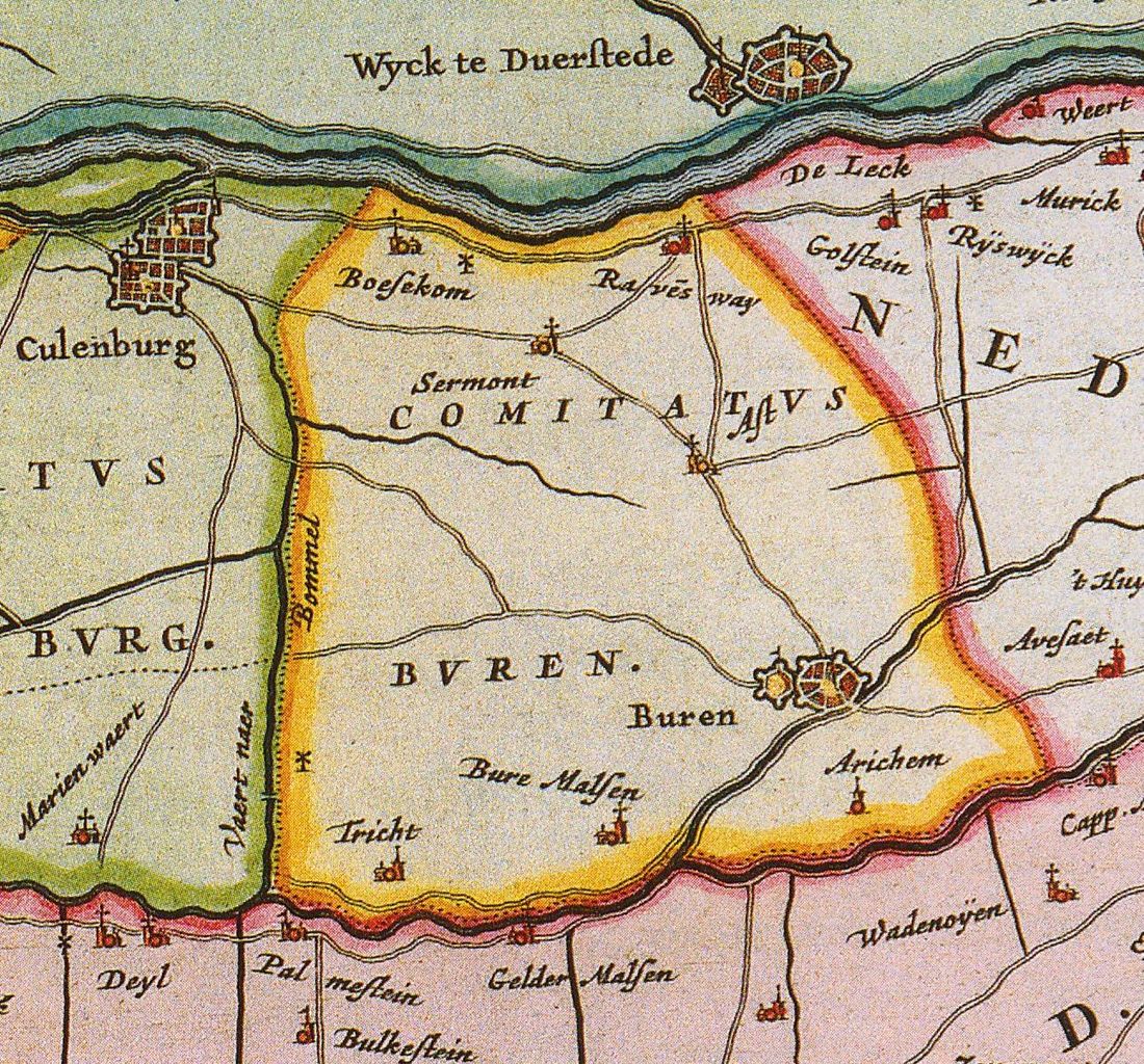
| current | 11:06, 12 December 2010 | | 1,291 × 1,202 (567 KB) | commons>Joostik | {{Information |Description={{en|1=Map of the county of Buren}} {{nl|1=Kaart van de graafschap Buren}} |Source=Atlas Maior |Author=Joan Blaeu |Date=1665 |Permission= |other_versions= }} Category:History of the Netherlands |
File usage
There are no pages that use this file.