File:Brighton and Hove UK locator map.svg
Jump to navigation
Jump to search

Size of this PNG preview of this SVG file: 800 × 521 pixels. Other resolutions: 320 × 208 pixels | 640 × 417 pixels | 1,024 × 667 pixels | 1,280 × 834 pixels | 2,560 × 1,667 pixels | 1,425 × 928 pixels.
Original file (SVG file, nominally 1,425 × 928 pixels, file size: 787 KB)
| Description |
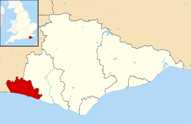
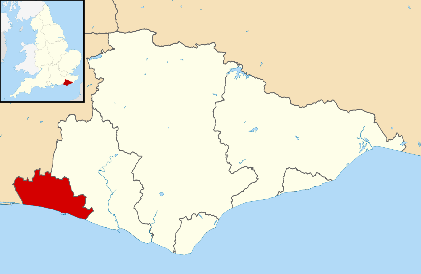
Map of East Sussex, UK with Brighton and Hove highlighted. Equirectangular map projection on WGS 84 datum, with N/S stretched 155% |
| Date | |
| Source |
|
| Author | Nilfanion, created using Ordnance Survey data |
| Permission (Reusing this file) |
This file is licensed under the Creative Commons Attribution-Share Alike 3.0 Unported license. Attribution: Contains Ordnance Survey data © Crown copyright and database right
|
File history
Click on a date/time to view the file as it appeared at that time.
| Date/Time | Thumbnail | Dimensions | User | Comment | |
|---|---|---|---|---|---|
| current | 11:32, 10 March 2011 | | 1,425 × 928 (787 KB) | commons>Nilfanion | {{Information |Description=Map of East Sussex, UK with Brighton and Hove highlighted. Equirectangular map projection on WGS 84 datum, with N/S stretched 155% |Source=Ordnance Survey [https:/ |
File usage
There are no pages that use this file.