File:Brighton Airport Diagram.JPG
Jump to navigation
Jump to search

Size of this preview: 665 × 600 pixels. Other resolutions: 266 × 240 pixels | 532 × 480 pixels | 852 × 768 pixels | 1,135 × 1,024 pixels | 2,271 × 2,048 pixels | 5,100 × 4,600 pixels.
Original file (5,100 × 4,600 pixels, file size: 717 KB, MIME type: image/jpeg)
File history
Click on a date/time to view the file as it appeared at that time.
| Date/Time | Thumbnail | Dimensions | User | Comment | |
|---|---|---|---|---|---|
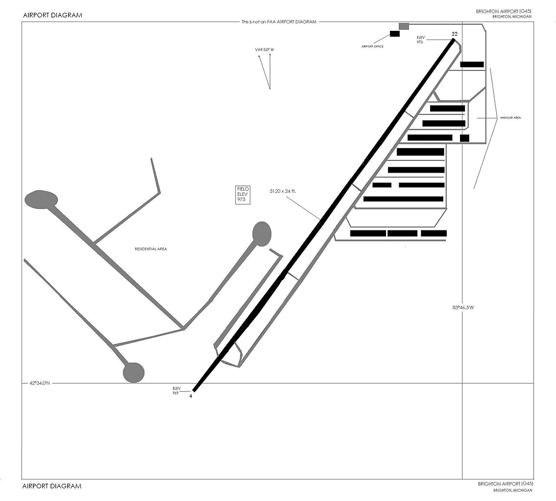
| current | 14:15, 17 July 2010 | | 5,100 × 4,600 (717 KB) | commons>Dwight Burdette | {{Information |Description={{en|1=Brighton Airport Diagram, Brighton Michigan. NOTE: FAA data was used to create this diagram, but it was not produced by the FAA. It is a facsimile of an FAA Airport Diagram.}} |Source={{own}} |Author=[[User:Deedeebee|Dwig |
File usage
There are no pages that use this file.