File:Brasil Bacias hidrograficas.svg
Jump to navigation
Jump to search

Size of this PNG preview of this SVG file: 621 × 599 pixels. Other resolutions: 249 × 240 pixels | 497 × 480 pixels | 796 × 768 pixels | 1,061 × 1,024 pixels | 2,122 × 2,048 pixels | 744 × 718 pixels.
Original file (SVG file, nominally 744 × 718 pixels, file size: 130 KB)
File history
Click on a date/time to view the file as it appeared at that time.
| Date/Time | Thumbnail | Dimensions | User | Comment | |
|---|---|---|---|---|---|
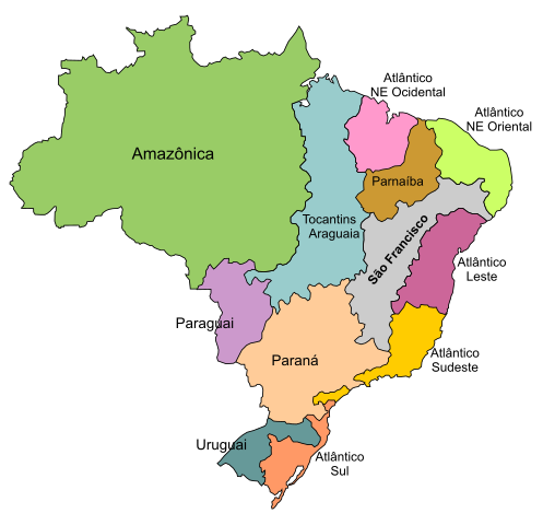
| current | 05:55, 22 January 2008 | | 744 × 718 (130 KB) | commons>André Koehne | {{Information |Description=Divisão do território brasileiro em 12 regiões hidrográficas, de acordo com a Resolução nº 32 do Conselho Nacional de Recursos Hídricos, de 15/10/2003. Disponível no Plano Nacional de Recursos Hídricos (Brazil: hydrogr |
File usage
There are no pages that use this file.