File:Boustead Hill - geograph.org.uk - 933243.jpg
Jump to navigation
Jump to search
No higher resolution available.
Boustead_Hill_-_geograph.org.uk_-_933243.jpg (640 × 480 pixels, file size: 67 KB, MIME type: image/jpeg)
File history
Click on a date/time to view the file as it appeared at that time.
| Date/Time | Thumbnail | Dimensions | User | Comment | |
|---|---|---|---|---|---|
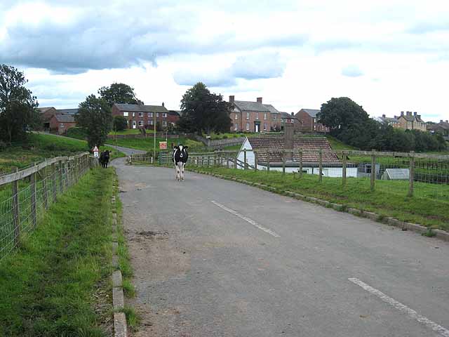
| current | 05:58, 22 February 2011 | | 640 × 480 (67 KB) | commons>GeographBot | == {{int:filedesc}} == {{Information |description={{en|1=Boustead Hill Boustead Hill is a hamlet occupying a small island of higher ground adjoining the Solway marshes. Seen from the coast road which carries both Hadrian's Wall National Trail http://www.n |
File usage
There are no pages that use this file.