File:BoraBora without Tupai topographic map-fr.png
Jump to navigation
Jump to search
Size of this preview: 800 × 508 pixels. Other resolutions: 320 × 203 pixels | 640 × 407 pixels | 998 × 634 pixels.
Original file (998 × 634 pixels, file size: 149 KB, MIME type: image/png)
File history
Click on a date/time to view the file as it appeared at that time.
| Date/Time | Thumbnail | Dimensions | User | Comment | |
|---|---|---|---|---|---|
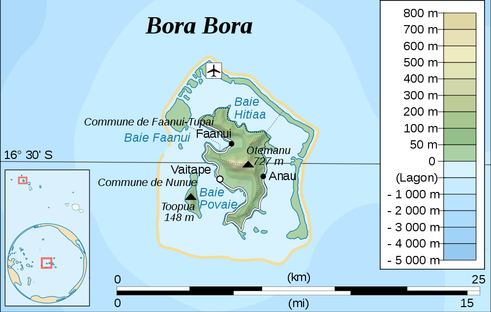
| current | 10:34, 14 September 2010 | | 998 × 634 (149 KB) | commons>Telim tor | == {{int:filedesc}} == {{Information |Description= {{de|Topographische Karte von Bora Bora, Gesellschaftsinseln, Französisch-Polynesien}} {{en|Topographic map of Bora Bora, Society Islands, French Polynesia}} |Source={{own}}, based on original from [[fr: |
File usage
There are no pages that use this file.