File:Bond-Hill-Cincinnati-map.jpg
Jump to navigation
Jump to search

Size of this preview: 800 × 507 pixels. Other resolutions: 320 × 203 pixels | 640 × 406 pixels | 1,024 × 649 pixels | 1,332 × 844 pixels.
Original file (1,332 × 844 pixels, file size: 409 KB, MIME type: image/jpeg)
File history
Click on a date/time to view the file as it appeared at that time.
| Date/Time | Thumbnail | Dimensions | User | Comment | |
|---|---|---|---|---|---|
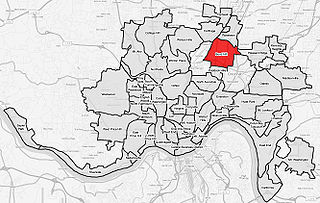
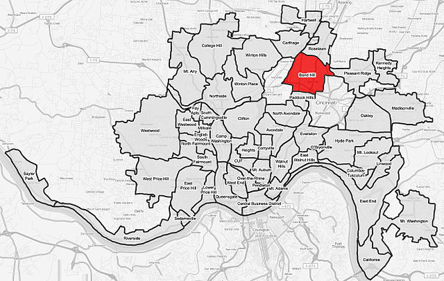
| current | 03:13, 4 August 2008 | | 1,332 × 844 (409 KB) | commons>Wholtone | {{Information |Description=A map of the neighborhood of Bond Hill within Cincinnati, Ohio. Neighborhood lines are based on information from http://www.cincinnati-oh.gov/police/pages/-5095-/. This street map is derived from a free http://www.openstreetmap. |
File usage
There are no pages that use this file.