File:Blank map of Canada.svg
Jump to navigation
Jump to search

Size of this PNG preview of this SVG file: 706 × 599 pixels. Other resolutions: 283 × 240 pixels | 566 × 480 pixels | 905 × 768 pixels | 1,206 × 1,024 pixels | 2,413 × 2,048 pixels | 1,085 × 921 pixels.
Original file (SVG file, nominally 1,085 × 921 pixels, file size: 82 KB)
File history
Click on a date/time to view the file as it appeared at that time.
| Date/Time | Thumbnail | Dimensions | User | Comment | |
|---|---|---|---|---|---|
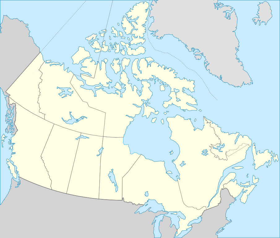
| current | 22:10, 14 December 2011 | | 1,085 × 921 (82 KB) | commons>Riba | == {{int:filedesc}} == {{Information |Description={{Multilingual description |en= Blank map showing provinces and territories of Canada. |fr= Carte vierge montrant les provinces et les territoires du Canada. |de=Karte von Kanada. |es=Mapa de Canadá.}} |S |
File usage
There are no pages that use this file.