File:Bjorøy Tunnel map.svg
Jump to navigation
Jump to search

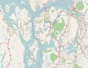
Size of this PNG preview of this SVG file: 771 × 599 pixels. Other resolutions: 309 × 240 pixels | 618 × 480 pixels | 988 × 768 pixels | 1,280 × 995 pixels | 2,560 × 1,990 pixels | 1,504 × 1,169 pixels.
Original file (SVG file, nominally 1,504 × 1,169 pixels, file size: 3.12 MB)
File history
Click on a date/time to view the file as it appeared at that time.
| Date/Time | Thumbnail | Dimensions | User | Comment | |
|---|---|---|---|---|---|
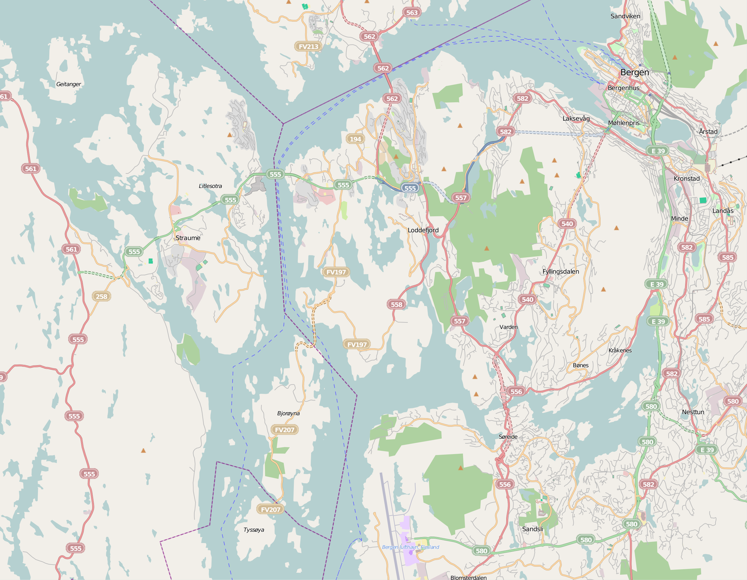
| current | 12:28, 2 March 2011 | | 1,504 × 1,169 (3.12 MB) | commons>Arsenikk | {{Information |Description ={{en|1=Map showing Bjorøy and Tyssøy and the surrounding area}} |Source =OpenStreetMap |Author =OpenStreetMap |Date = |Permission ={{OpenStreetMap}} |other_versions = }} [[Category:OpenStreet |
File usage
There are no pages that use this file.