File:Belgrave Mansions 1910s Ordnance Survey map.jpg
Jump to navigation
Jump to search

Size of this preview: 647 × 599 pixels. Other resolutions: 259 × 240 pixels | 518 × 480 pixels | 829 × 768 pixels | 1,105 × 1,024 pixels | 2,210 × 2,048 pixels | 3,800 × 3,521 pixels.
Original file (3,800 × 3,521 pixels, file size: 2.62 MB, MIME type: image/jpeg)
File history
Click on a date/time to view the file as it appeared at that time.
| Date/Time | Thumbnail | Dimensions | User | Comment | |
|---|---|---|---|---|---|
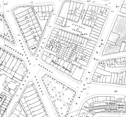
| current | 22:39, 19 March 2017 | | 3,800 × 3,521 (2.62 MB) | commons>Philafrenzy | {{Information |Description ={{en|1=Belgrave Mansions 1910s Ordnance Survey map.}} |Source =Scan of original |Author =Ordnance Survey |Date =1910s |Permission ={{PD-UKGov}} |other_versions = }} [[Category:Maps from Ordn... |
File usage
There are no pages that use this file.