File:Beaminster tunnel maps.png
Jump to navigation
Jump to search

Size of this preview: 800 × 317 pixels. Other resolutions: 320 × 127 pixels | 850 × 337 pixels.
Original file (850 × 337 pixels, file size: 197 KB, MIME type: image/png)
File history
Click on a date/time to view the file as it appeared at that time.
| Date/Time | Thumbnail | Dimensions | User | Comment | |
|---|---|---|---|---|---|
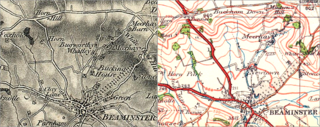
| current | 15:13, 21 July 2012 | 850 × 337 (197 KB) | commons>Prioryman | {{Information |Description=Maps of the Beaminster Tunnel area, before and after its construction. Left map, Ordnance Survey First Series, Sheet 18, 1811; right map Ordnance Survey Popular (4th) Edition, Sheet 139, 1932. |Source=Scans of old maps |Date=... |
File usage
There are no pages that use this file.