File:Battle of Tory Island.svg
Jump to navigation
Jump to search

Size of this PNG preview of this SVG file: 400 × 550 pixels. Other resolutions: 174 × 240 pixels | 349 × 480 pixels | 558 × 768 pixels | 745 × 1,024 pixels | 1,489 × 2,048 pixels.
Original file (SVG file, nominally 400 × 550 pixels, file size: 230 KB)
File history
Click on a date/time to view the file as it appeared at that time.
| Date/Time | Thumbnail | Dimensions | User | Comment | |
|---|---|---|---|---|---|
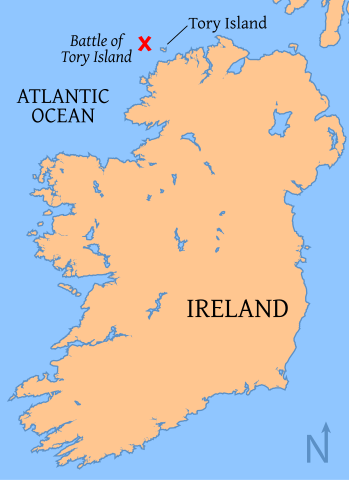
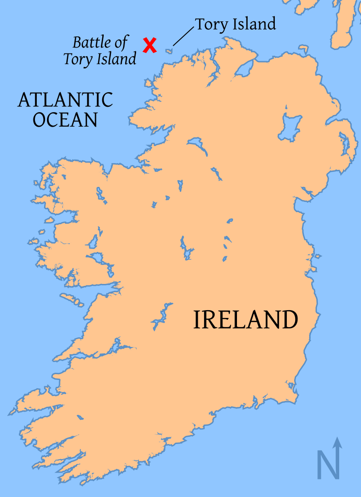
| current | 01:10, 17 July 2008 | | 400 × 550 (230 KB) | commons>Tkgd2007 | {{Information |Description=Map of the location of the Battle of Tory Island, of the coast of County Donegal, Ireland map |Source= Base map from [http://www.aquarius.geomar.de/omc/make_map.html OMC], modified by myself with the battle location from other |
File usage
There are no pages that use this file.