File:Baie Charles-Talbot 2023-05 2.jpg
Jump to navigation
Jump to search

Size of this preview: 800 × 533 pixels. Other resolutions: 320 × 213 pixels | 640 × 426 pixels | 1,024 × 682 pixels | 1,280 × 853 pixels | 2,560 × 1,705 pixels | 5,464 × 3,640 pixels.
Original file (5,464 × 3,640 pixels, file size: 5.65 MB, MIME type: image/jpeg)
Summary
| Description |
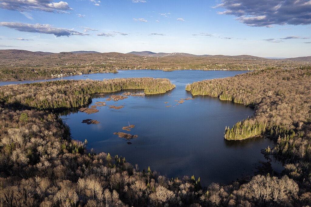
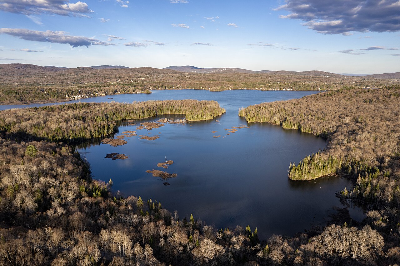
Français : Baie Charles-Talbot, Lac Saint-Charles, Québec.
English: Charles-Talbot Bay, Lake Saint-Charles, Quebec. |
| Date | |
| Source | Own work |
| Author | Gabriel Picard |
| Camera location | | View this and other nearby images on: OpenStreetMap |
|---|
Licensing
I, the copyright holder of this work, hereby publish it under the following license:
This file is licensed under the Creative Commons Attribution-Share Alike 4.0 International license.
- You are free:
- to share – to copy, distribute and transmit the work
- to remix – to adapt the work
- Under the following conditions:
- attribution – You must give appropriate credit, provide a link to the license, and indicate if changes were made. You may do so in any reasonable manner, but not in any way that suggests the licensor endorses you or your use.
- share alike – If you remix, transform, or build upon the material, you must distribute your contributions under the same or compatible license as the original.
File history
Click on a date/time to view the file as it appeared at that time.
| Date/Time | Thumbnail | Dimensions | User | Comment | |
|---|---|---|---|---|---|
| current | 23:16, 8 May 2023 | | 5,464 × 3,640 (5.65 MB) | commons>Gacard | Uploaded own work with UploadWizard |
File usage
There are no pages that use this file.