File:Bacia do rio Doce com municípios.png
Jump to navigation
Jump to search
Size of this preview: 800 × 566 pixels. Other resolutions: 320 × 226 pixels | 640 × 453 pixels | 1,024 × 724 pixels | 1,280 × 905 pixels | 2,560 × 1,810 pixels | 3,507 × 2,480 pixels.
Original file (3,507 × 2,480 pixels, file size: 1.21 MB, MIME type: image/png)
File history
Click on a date/time to view the file as it appeared at that time.
| Date/Time | Thumbnail | Dimensions | User | Comment | |
|---|---|---|---|---|---|
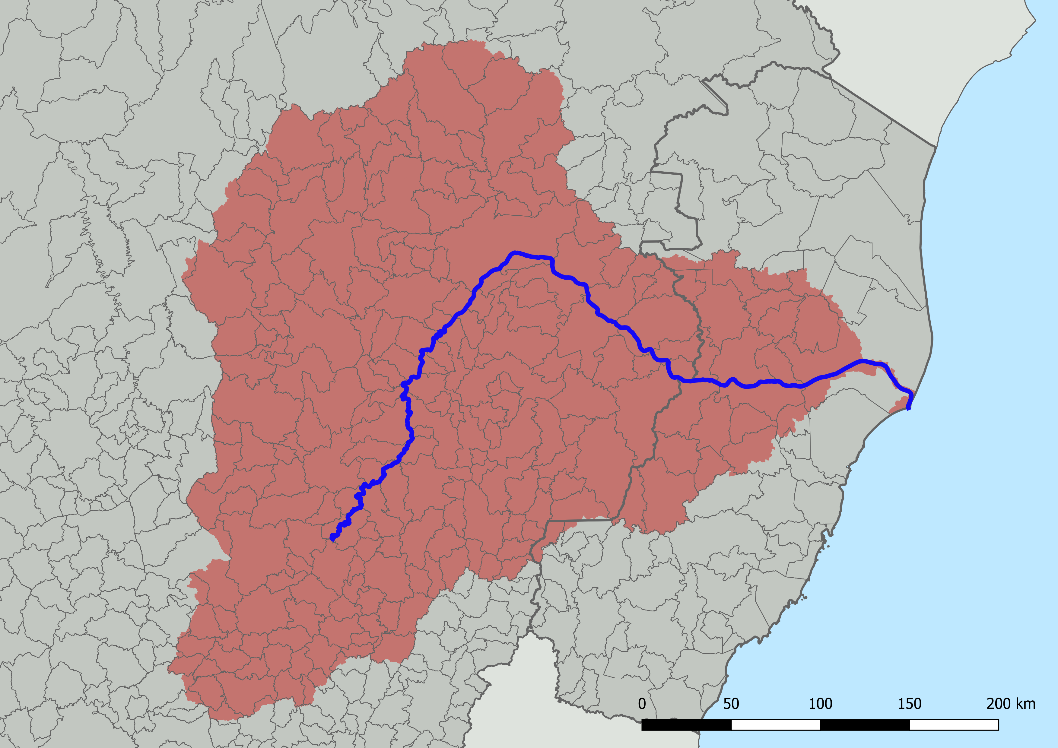
| current | 14:16, 17 July 2022 | | 3,507 × 2,480 (1.21 MB) | commons>HVL | == {{int:filedesc}} == {{Information |description ={{en|1=Map of the Doce River basin, Brazil, with division into municipalities. Created with QGIS.}} {{pt|1=Mapa da bacia do rio Doce, Brasil, com divisão em municípios. Criado em QGIS.}} |date =2022-07-17 |source ={{own}}; based on GIS data: * Instituto Pristino. ''Sistema WebGis de livre acesso ao banco de dados ambiental'' (in portuguese). Available in:<https://institutopristino.org.br/atlas/municipios-de-minas-gerais/>. A... |
File usage
There are no pages that use this file.