File:Babbington Village - geograph.org.uk - 616504.jpg
Jump to navigation
Jump to search
No higher resolution available.
Babbington_Village_-_geograph.org.uk_-_616504.jpg (640 × 466 pixels, file size: 41 KB, MIME type: image/jpeg)
File history
Click on a date/time to view the file as it appeared at that time.
| Date/Time | Thumbnail | Dimensions | User | Comment | |
|---|---|---|---|---|---|
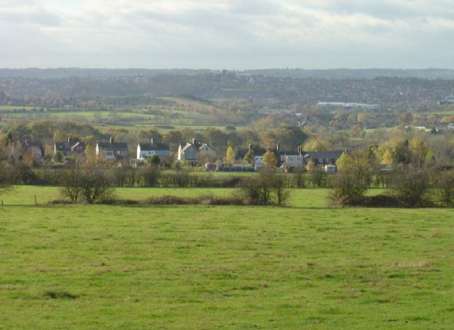
| current | 01:54, 7 February 2011 | | 640 × 466 (41 KB) | commons>GeographBot | == {{int:filedesc}} == {{Information |description={{en|1=Babbington Village This is the view from the bridleway from Swingate. Although now agricultural this area was developed early with coal mines as the coal was close to the surface. Traces of the indu |
File usage
There are no pages that use this file.