File:BAVLA-TALUKA MAP (Eng A).jpg
Jump to navigation
Jump to search
Size of this preview: 705 × 599 pixels. Other resolutions: 282 × 240 pixels | 565 × 480 pixels | 904 × 768 pixels | 1,205 × 1,024 pixels | 1,666 × 1,416 pixels.
Original file (1,666 × 1,416 pixels, file size: 493 KB, MIME type: image/jpeg)
.jpg)
File history
Click on a date/time to view the file as it appeared at that time.
| Date/Time | Thumbnail | Dimensions | User | Comment | |
|---|---|---|---|---|---|
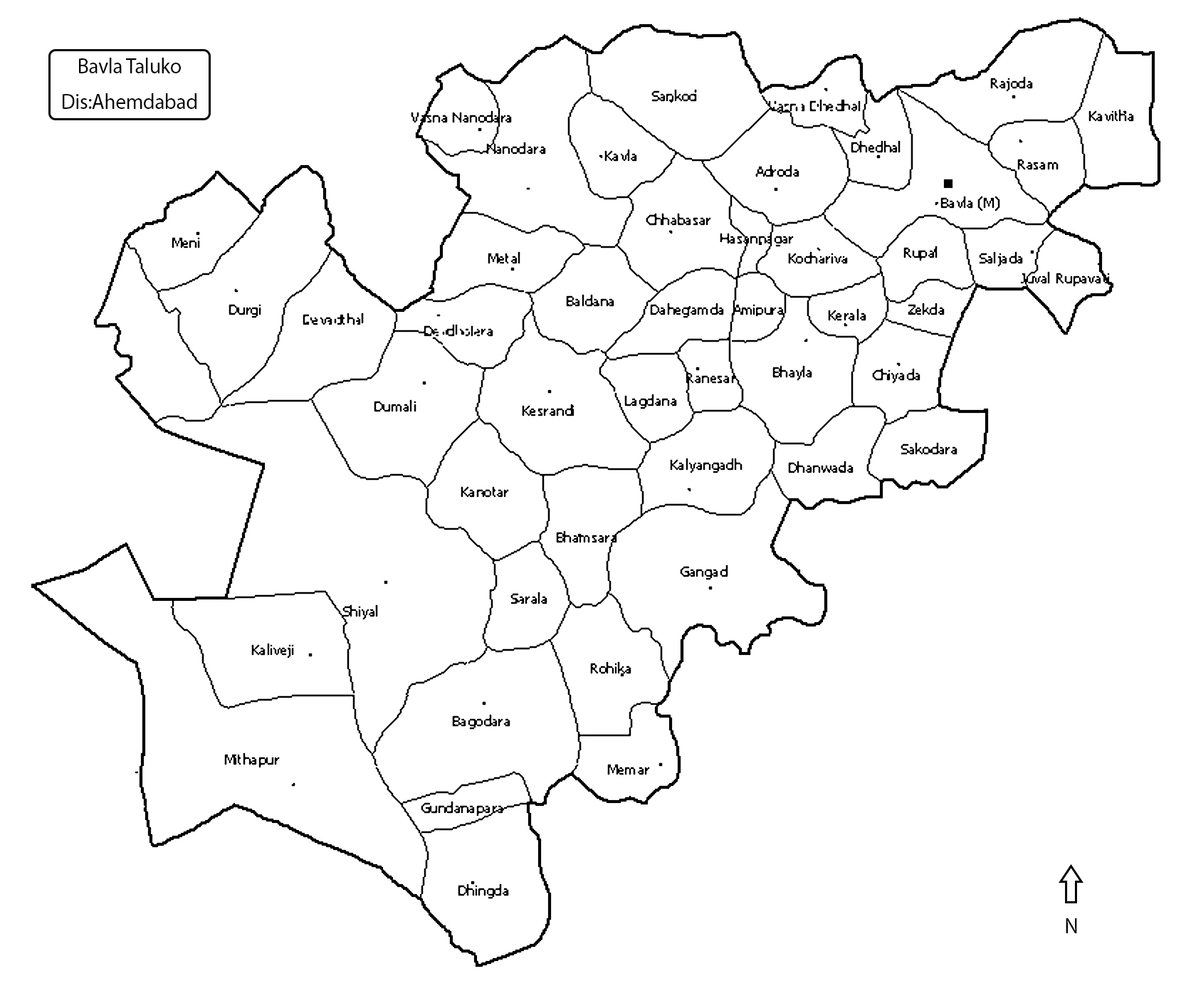
| current | 17:59, 21 November 2013 | | 1,666 × 1,416 (493 KB) | commons>Ashok modhvadia | == {{int:filedesc}} == {{Information |Description ={{en|1=Village map of Bavla taluka, Ahemdabad district, Gujarat, India. (English Language)}} {{gu|1=બાવળા તાલુકો, અમદાવાદ જિલ્લો, ગુજરાત, ... |
File usage
There are no pages that use this file.
.jpg)