File:Autopista Central map.png
Jump to navigation
Jump to search
Size of this preview: 712 × 600 pixels. Other resolutions: 285 × 240 pixels | 570 × 480 pixels | 837 × 705 pixels.
Original file (837 × 705 pixels, file size: 9 KB, MIME type: image/png)
File history
Click on a date/time to view the file as it appeared at that time.
| Date/Time | Thumbnail | Dimensions | User | Comment | |
|---|---|---|---|---|---|
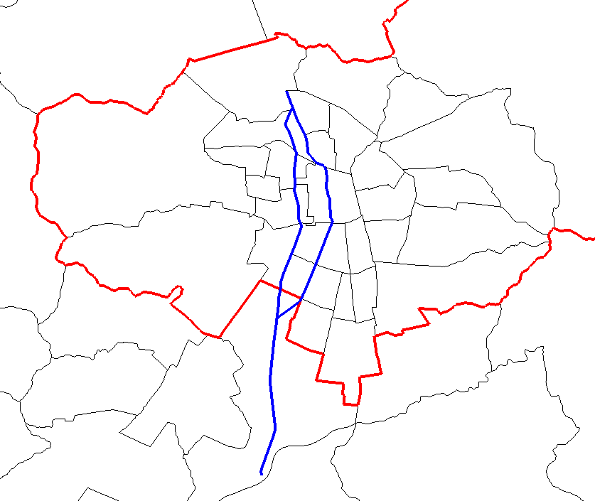
| current | 05:12, 2 March 2015 | | 837 × 705 (9 KB) | commons>Cantus | {{subst:Upload marker added by en.wp UW}} {{Information |Description = {{en|Map of Autopista Central in Santiago, Chile. The highway is in blue. In red, Santiago Province borders. In black, communal borders.}} |Source = http://www.openstreetmap.org/ |A... |
File usage
There are no pages that use this file.