File:Australia Victoria location map highways.svg
Jump to navigation
Jump to search

Size of this PNG preview of this SVG file: 800 × 563 pixels. Other resolutions: 320 × 225 pixels | 640 × 450 pixels | 1,024 × 720 pixels | 1,280 × 900 pixels | 2,560 × 1,800 pixels | 1,375 × 967 pixels.
Original file (SVG file, nominally 1,375 × 967 pixels, file size: 729 KB)
File history
Click on a date/time to view the file as it appeared at that time.
| Date/Time | Thumbnail | Dimensions | User | Comment | |
|---|---|---|---|---|---|
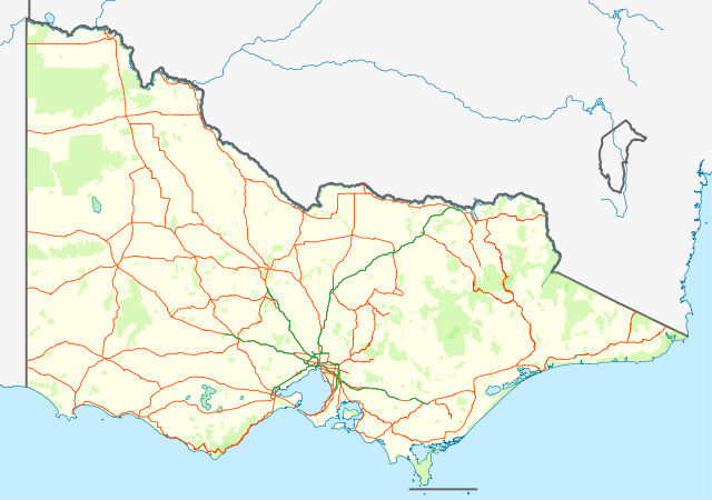
| current | 13:58, 25 February 2011 | | 1,375 × 967 (729 KB) | commons>Cassowary | {{Information |Description={{en|Location map with highways (in Orange) and freeways (in Green) of Victoria, Australia. Also shows state forests and national parks.}} Equirectangular projection, N/S stretchi |
File usage
There are no pages that use this file.