File:Augusta, Wisconsin map.png
Jump to navigation
Jump to search
No higher resolution available.
Augusta,_Wisconsin_map.png (756 × 480 pixels, file size: 16 KB, MIME type: image/png)
File history
Click on a date/time to view the file as it appeared at that time.
| Date/Time | Thumbnail | Dimensions | User | Comment | |
|---|---|---|---|---|---|
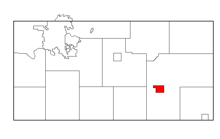
| current | 06:52, 19 February 2011 | | 756 × 480 (16 KB) | commons>Wars | {{Information | Description = The map highlights the location of Augusta, Wisconsin within the Eau Clair County, Wisconsin | Source = En.wiki, see it [http://en.wikipedia.org/wiki/File:Augusta,_Wisconsin_map.png here]. | Date = 01:28, 24 O |
File usage
There are no pages that use this file.