File:Atoll Mururoa - Map.jpg
Jump to navigation
Jump to search
Size of this preview: 800 × 582 pixels. Other resolutions: 320 × 233 pixels | 640 × 466 pixels | 1,024 × 745 pixels | 1,240 × 902 pixels.
Original file (1,240 × 902 pixels, file size: 185 KB, MIME type: image/jpeg)
File history
Click on a date/time to view the file as it appeared at that time.
| Date/Time | Thumbnail | Dimensions | User | Comment | |
|---|---|---|---|---|---|
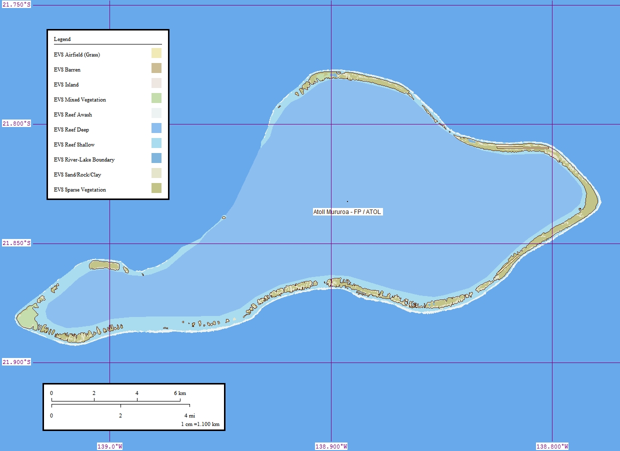
| current | 08:13, 10 July 2008 | | 1,240 × 902 (185 KB) | commons>Telim tor | == Summary == {{Information |Description = {{de|Karte des Mururoa-Atolls, Tuamotu-Archipel, Französisch-Polynesien}} {{en|Map of the atoll Mururoa, Tuamotu Archipelago, French Polynesia}} {{fr|Carte de l'atoll Mururoa, l'archipel Tuamotu, Polynésie fra |
File usage
There are no pages that use this file.