File:Atlas of the Philippine Islands (1900) map 09.jpg
Jump to navigation
Jump to search

Size of this preview: 500 × 600 pixels. Other resolutions: 200 × 240 pixels | 400 × 480 pixels | 640 × 768 pixels | 853 × 1,024 pixels | 1,707 × 2,048 pixels | 5,000 × 6,000 pixels.
Original file (5,000 × 6,000 pixels, file size: 5.69 MB, MIME type: image/jpeg)
_map_09.jpg)
File history
Click on a date/time to view the file as it appeared at that time.
| Date/Time | Thumbnail | Dimensions | User | Comment | |
|---|---|---|---|---|---|
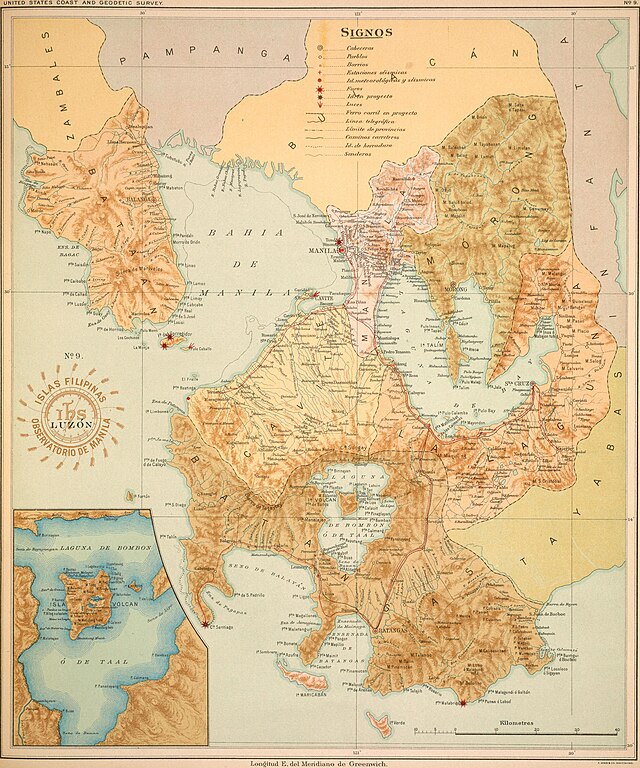
| current | 10:48, 26 September 2023 | | 5,000 × 6,000 (5.69 MB) | commons>Monedula | == {{int:filedesc}} == =={{int:filedesc}}== {{Information |description={{en|1=Map of a part of the island of Luzon (Philippines) from the 1899/1900 atlas (File:Atlas de Filipinas.djvu)}} |date=1899-12-31 |source= [https://archive.org/stream/AtlasPhilippine00Algu/AtlasPhilippine00Algu#page/n74/mode/1up archive.org]) |author=Observatorio de Manila (director: P. José Algué, S. J.); U. S. Coast and Geodetic Survey (superintendent: Henry S. Pritchett) |permission= |other versions= }} =={{int... |
File usage
There are no pages that use this file.
_map_09.jpg)