File:Arkansas Interstates map.svg
Jump to navigation
Jump to search

Size of this PNG preview of this SVG file: 740 × 599 pixels. Other resolutions: 296 × 240 pixels | 593 × 480 pixels | 948 × 768 pixels | 1,264 × 1,024 pixels | 2,528 × 2,048 pixels | 758 × 614 pixels.
Original file (SVG file, nominally 758 × 614 pixels, file size: 231 KB)
File history
Click on a date/time to view the file as it appeared at that time.
| Date/Time | Thumbnail | Dimensions | User | Comment | |
|---|---|---|---|---|---|
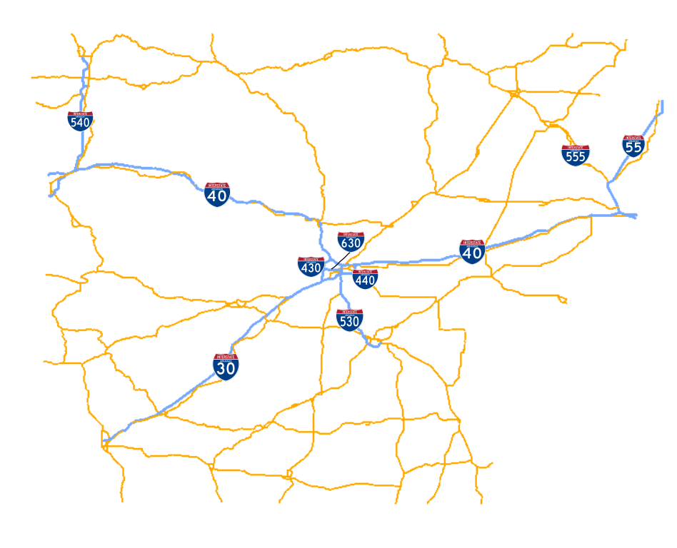
| current | 18:50, 18 April 2009 | | 758 × 614 (231 KB) | commons>Brandonrush | == Summary == {{Information |Description={{en|1=Map of Arkansas Interstates. Created using Inkscape and Quantum GIS.}} |Source=Own work by uploader |Author=Brandonrush |Date=2009-04-18 |Permission= |other_versions= }} <!--{{ImageUplo |
File usage
There are no pages that use this file.