File:Arabian Plate map-uni.png
Jump to navigation
Jump to search

Size of this preview: 558 × 600 pixels. Other resolutions: 223 × 240 pixels | 562 × 604 pixels.
Original file (562 × 604 pixels, file size: 72 KB, MIME type: image/png)
File history
Click on a date/time to view the file as it appeared at that time.
| Date/Time | Thumbnail | Dimensions | User | Comment | |
|---|---|---|---|---|---|
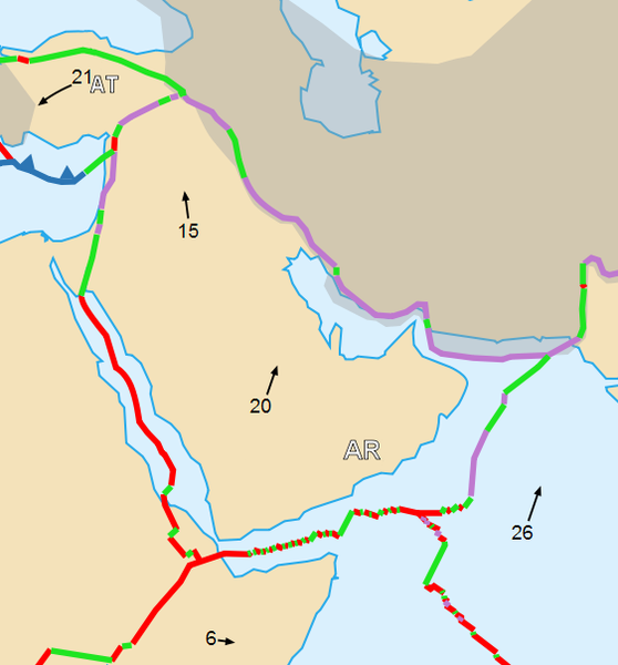
| current | 12:28, 27 June 2007 | | 562 × 604 (72 KB) | commons>Woudloper | {{Information |Description={{en|Map of the Arabian Plate}}{{fr|Carte de la plaque arabique}} |Source=Cropped version by myself of Image:Tectonic_plates_boundaries_detailed-en.svg created by Sting under CC-BY-SA |Date=june 2007 |Author= |
File usage
There are no pages that use this file.