File:Aquidneck Island Location Map.svg
Jump to navigation
Jump to search

Size of this PNG preview of this SVG file: 445 × 600 pixels. Other resolutions: 178 × 240 pixels | 356 × 480 pixels | 570 × 768 pixels | 760 × 1,024 pixels | 1,520 × 2,048 pixels | 512 × 690 pixels.
Original file (SVG file, nominally 512 × 690 pixels, file size: 53 KB)
Summary
| Description |
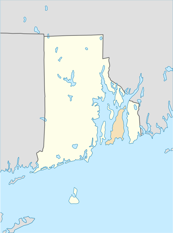
English: Locator map of Aquidneck Island in Narragansett Bay. |
| Date | |
| Source |
This file was derived from: USA Rhode Island location map.svg |
| Author | NordNordWest |
Licensing

|
Permission is granted to copy, distribute and/or modify this document under the terms of the GNU Free Documentation License, Version 1.2 or any later version published by the Free Software Foundation; with no Invariant Sections, no Front-Cover Texts, and no Back-Cover Texts. A copy of the license is included in the section entitled GNU Free Documentation License. |
This file is licensed under the Creative Commons Attribution 3.0 Unported license.
- You are free:
- to share – to copy, distribute and transmit the work
- to remix – to adapt the work
- Under the following conditions:
- attribution – You must give appropriate credit, provide a link to the license, and indicate if changes were made. You may do so in any reasonable manner, but not in any way that suggests the licensor endorses you or your use.
File history
Click on a date/time to view the file as it appeared at that time.
| Date/Time | Thumbnail | Dimensions | User | Comment | |
|---|---|---|---|---|---|
| current | 15:22, 6 October 2021 | | 512 × 690 (53 KB) | commons>SiliconProphet | inverted color scheme to make Rhode/Aquidneck island more prominent |
File usage
There are no pages that use this file.