File:Appalachia Williams.png
Jump to navigation
Jump to search
No higher resolution available.
Appalachia_Williams.png (444 × 474 pixels, file size: 34 KB, MIME type: image/png)
File history
Click on a date/time to view the file as it appeared at that time.
| Date/Time | Thumbnail | Dimensions | User | Comment | |
|---|---|---|---|---|---|
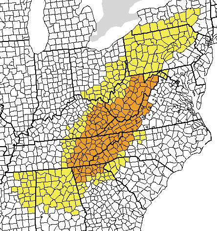
| current | 03:52, 11 February 2007 | | 444 × 474 (34 KB) | commons>Pfly | I created this map, using a blank map from the Wiki Commons (Image:Map of USA with county outlines (black & white).png) and painting the counties defined as "Appalachia" by the Appalachia Regional Commission in yellow and the "core" region, as defined in |
File usage
There are no pages that use this file.