File:Apache County Incorporated and Unincorporated areas St. Michaels highlighted.svg
Jump to navigation
Jump to search

Size of this PNG preview of this SVG file: 300 × 600 pixels. Other resolutions: 120 × 240 pixels | 240 × 480 pixels | 384 × 768 pixels | 512 × 1,024 pixels | 1,024 × 2,048 pixels | 400 × 800 pixels.
Original file (SVG file, nominally 400 × 800 pixels, file size: 81 KB)
File history
Click on a date/time to view the file as it appeared at that time.
| Date/Time | Thumbnail | Dimensions | User | Comment | |
|---|---|---|---|---|---|
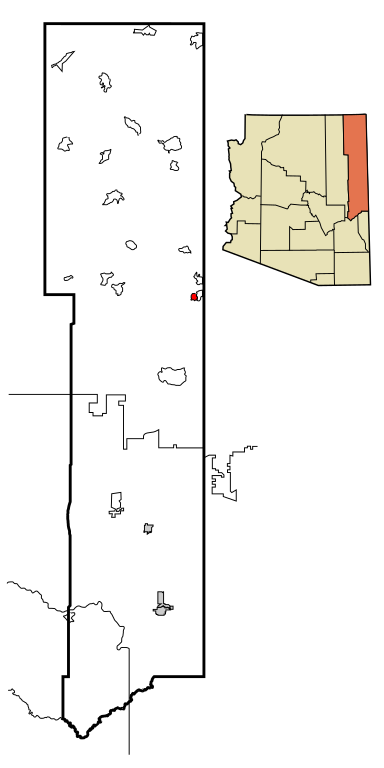
| current | 19:03, 28 March 2007 | | 400 × 800 (81 KB) | commons>Shereth | == Summary == {{Information |Description=This map shows the incorporated and unincorporated areas and Indian reservations in Apache County, Arizona, highlighting [[:w:St. Michaels, Arizon |
File usage
There are no pages that use this file.