File:Antarctic farthest south map.png
Jump to navigation
Jump to search
No higher resolution available.
Antarctic_farthest_south_map.png (441 × 439 pixels, file size: 76 KB, MIME type: image/png)
File history
Click on a date/time to view the file as it appeared at that time.
| Date/Time | Thumbnail | Dimensions | User | Comment | |
|---|---|---|---|---|---|
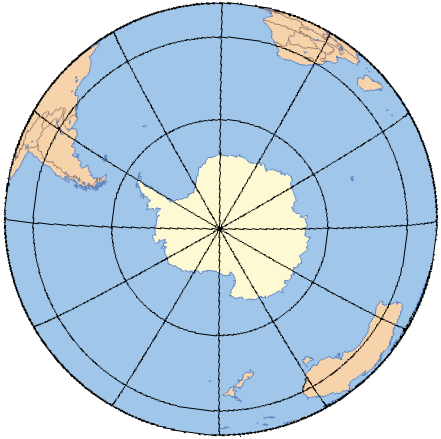
| current | 18:21, 1 October 2008 | | 441 × 439 (76 KB) | commons>Ruhrfisch | {{Information |Description= Base map of Antarctica and the southern hemisphere for the Farthest South article |Source= Original map is from [http://www.aquarius.geomar.de/ Online Map Creation], rotated and colored by User:Ruhrfisch |Date= Septemeb |
File usage
There are no pages that use this file.