File:Alsace region location map.svg
Jump to navigation
Jump to search

Size of this PNG preview of this SVG file: 366 × 600 pixels. Other resolutions: 146 × 240 pixels | 293 × 480 pixels | 468 × 768 pixels | 625 × 1,024 pixels | 1,250 × 2,048 pixels | 872 × 1,429 pixels.
Original file (SVG file, nominally 872 × 1,429 pixels, file size: 434 KB)
File history
Click on a date/time to view the file as it appeared at that time.
| Date/Time | Thumbnail | Dimensions | User | Comment | |
|---|---|---|---|---|---|
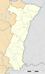
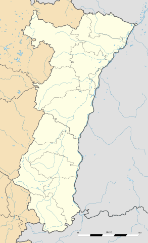
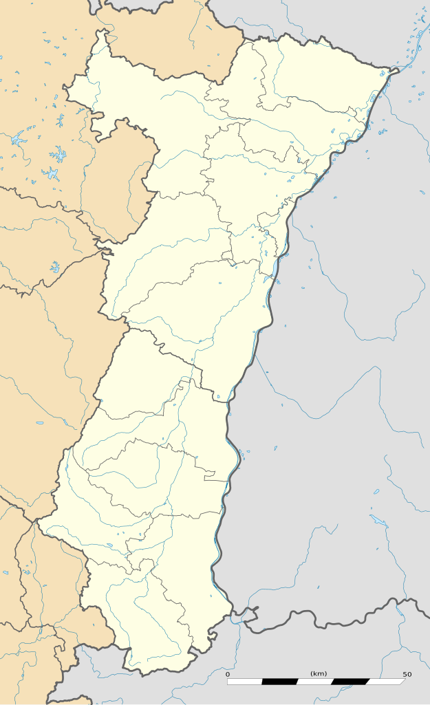
| current | 22:06, 23 April 2009 | | 872 × 1,429 (434 KB) | commons>Sting | == Summary == {{Location|48|15|00|N|07|31|30|E|scale:1000000}} <br/> {{Information |Description={{en|Blank administrative map of the region of Alsace, France, for geo-location purpose.}} {{fr|Carte a |
File usage
There are no pages that use this file.