File:Algeria 27 Wilaya locator map-2009.svg
Jump to navigation
Jump to search

Size of this PNG preview of this SVG file: 508 × 500 pixels. Other resolutions: 244 × 240 pixels | 488 × 480 pixels | 780 × 768 pixels | 1,040 × 1,024 pixels | 2,081 × 2,048 pixels.
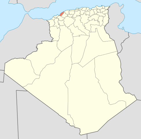
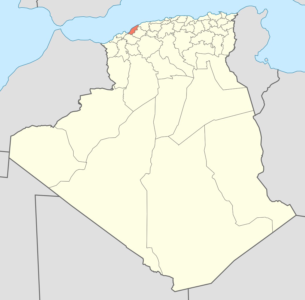
Original file (SVG file, nominally 508 × 500 pixels, file size: 70 KB)
File history
Click on a date/time to view the file as it appeared at that time.
| Date/Time | Thumbnail | Dimensions | User | Comment | |
|---|---|---|---|---|---|
| current | 17:41, 19 November 2009 | | 508 × 500 (70 KB) | commons>Sting | {{Information |Description={{en|Locator map of the Mostaganem Province, Algeria, as in 2009.}} {{fr|Carte de localisation de la Wilaya de Mostaganem, Algérie, telle |
File usage
There are no pages that use this file.