File:African Map in 1840.jpg
Jump to navigation
Jump to search

Size of this preview: 757 × 600 pixels. Other resolutions: 303 × 240 pixels | 606 × 480 pixels | 970 × 768 pixels | 1,192 × 944 pixels.
Original file (1,192 × 944 pixels, file size: 1.87 MB, MIME type: image/jpeg)
File history
Click on a date/time to view the file as it appeared at that time.
| Date/Time | Thumbnail | Dimensions | User | Comment | |
|---|---|---|---|---|---|
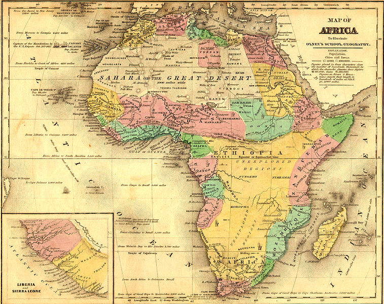
| current | 15:10, 20 August 2015 | | 1,192 × 944 (1.87 MB) | commons>EthiopianHabesha | {{subst:Upload marker added by en.wp UW}} {{Information |Description = {{en|African Map before the 1884 Berlin Conference to divide Africa.}} |Source = '''Original publication''': 1843<br/> '''Immediate source''': http://www.themapdatabase.com/1843/10/... |
File usage
There are no pages that use this file.