File:Aerial view of Pawpaw Area from NPS exhibit.jpg
Jump to navigation
Jump to search

Size of this preview: 800 × 598 pixels. Other resolutions: 320 × 239 pixels | 640 × 478 pixels | 1,024 × 765 pixels | 1,280 × 956 pixels | 2,560 × 1,912 pixels | 3,936 × 2,940 pixels.
Original file (3,936 × 2,940 pixels, file size: 6.07 MB, MIME type: image/jpeg)
File history
Click on a date/time to view the file as it appeared at that time.
| Date/Time | Thumbnail | Dimensions | User | Comment | |
|---|---|---|---|---|---|
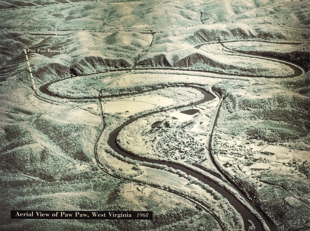
| current | 14:07, 1 August 2014 | | 3,936 × 2,940 (6.07 MB) | commons>Bonnachoven | {{Information |Description ={{en|1=Aerial view of the Pawpaw area, showing place where Pawpaw tunnel is. Note on the MD side of the river, the cliffs which were the reason for the canal engineers (mainly Charles B Fisk) to build the tunnel. }} |Sour... |
File usage
There are no pages that use this file.