File:Adams County Ohio incorporated and unincorporated areas West Union highlighted.svg
Jump to navigation
Jump to search

Size of this PNG preview of this SVG file: 800 × 593 pixels. Other resolutions: 320 × 237 pixels | 640 × 475 pixels | 1,024 × 760 pixels | 1,280 × 949 pixels | 2,560 × 1,899 pixels | 999 × 741 pixels.
Original file (SVG file, nominally 999 × 741 pixels, file size: 4.92 MB)
Summary
| Description |
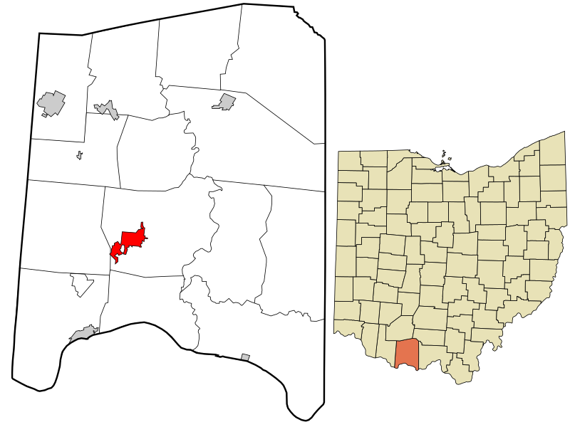
English: Map showing the location of this village within Adams County, Ohio. Data source: 2010 U.S. census |
| Date | |
| Source | Own work |
| Author | Rcsprinter123 |
Licensing
I, the copyright holder of this work, hereby publish it under the following license:
This file is licensed under the Creative Commons Attribution 3.0 Unported license.
- You are free:
- to share – to copy, distribute and transmit the work
- to remix – to adapt the work
- Under the following conditions:
- attribution – You must give appropriate credit, provide a link to the license, and indicate if changes were made. You may do so in any reasonable manner, but not in any way that suggests the licensor endorses you or your use.
File history
Click on a date/time to view the file as it appeared at that time.
| Date/Time | Thumbnail | Dimensions | User | Comment | |
|---|---|---|---|---|---|
| current | 17:04, 18 October 2016 | | 999 × 741 (4.92 MB) | commons>Rcsprinter123 | User created page with UploadWizard |
File usage
There are no pages that use this file.